The Areal Reduction Factor is used in the Wallingford Procedure and can be applied to other runoff calculation methods as a way to adjust the rainfall intensities to better suit larger catchment areas.
Areal Reduction Factor
The rainfall data used for the Wallingford Procedure comes from rainfall gauges, which measure rainfall intensity at a single point. For large catchments the rainfall intensity is not constant across the whole of the catchment at all times during a storm. To account for this, an Areal Reduction Factor (ARF) is included to estimate the average rainfall over the whole of a large catchment. This factor was developed by comparing measured point rainfall intensities with the corresponding average catchment rainfall intensities for storms of the same return period.
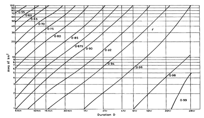
The largest variations are seen for large catchments and short duration storms. Due to their relatively small areas, for most urban catchments the ARF is greater than 0.9 and does not have a large effect on the final design rainfall intensities.
Calculation Spreadsheet
The Wallingford Procedure uses the storm duration and the catchment area to calculate the ARF. It does not appear to vary greatly between regions and between different return periods, so these factors are ignored in the calculation. The Wallingford Procedure also included a graph which can be used to quickly estimate the ARF for different catchment areas and storm durations. This is shown below. The ARF calculated by the CivilWeb Rainfall & Runoff Calculation spreadsheet is appropriate for catchment areas up to 10,000km² and storm durations of between 5 minutes and 48 hours.
Related Spreadsheets from CivilWeb;
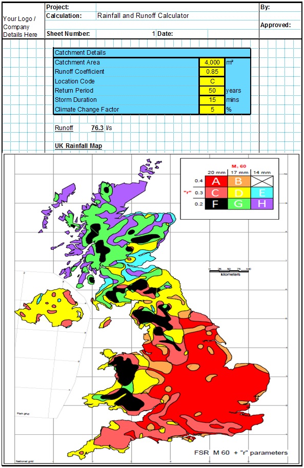
Runoff Calculator Spreadsheet
This spreadsheet calculates the design runoff flow for a site in accordance with the a number of different methods including the Wallingford Procedure.
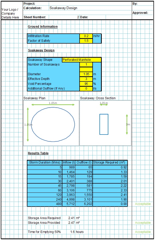
Soakaway Design Spreadsheet
This spreadsheet calculates the requirements for a soakaway system and assists the user to design a suitable system.


